Likuruanga
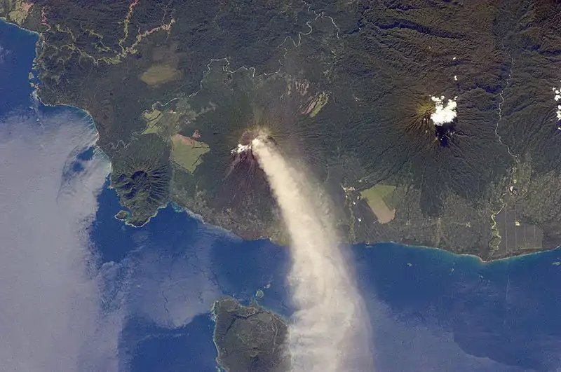
Likuruanga is a stratovolcano in easternmost West New Britain Province on the island of New Britain, Papua New Guinea. Its low, dissected edifice contains a large volcanic crater that is breached to the north. The last known eruption from Likuruanga is prehistoric in age, having taken place during the Pleistocene epoch.[1]
| Likuruanga | |
|---|---|
 | |
| Highest point | |
| Elevation | 904 m (2,966 ft) |
| Coordinates | 4.953°S 151.385°E |
| Geography | |
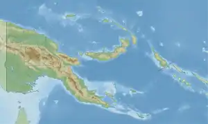 Likuruanga Location in Papua New Guinea | |
| Location | West New Britain, Papua New Guinea |
| Geology | |
| Mountain type | Stratovolcano |
| Last eruption | Pleistocene |
A fatality occurred on Likuruanga's northern flank in September 2006 when a boy died in a hole at the village of Bakada. The cause of death was carbon dioxide asphyxiation.[1]
References
- "Likuruanga". Global Volcanism Program. Smithsonian Institution. Retrieved 2020-11-01.
This article is issued from Wikipedia. The text is licensed under Creative Commons - Attribution - Sharealike. Additional terms may apply for the media files.