Tenabo, Nevada
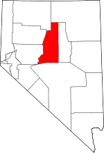
Tenabo is a ghost town in Lander County, Nevada United States.
Tenabo, Nevada | |
|---|---|
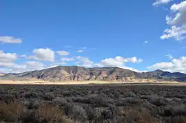
 Eastern side of Shoshone Range | |
 Tenabo, Nevada | |
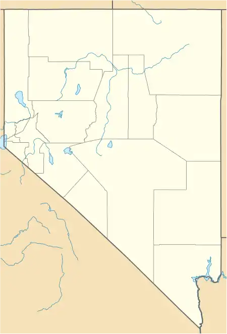
| Coordinates: 40°18′52″N 116°40′36″W[1] | |
| Country | United States |
| State | Nevada |
| County | Lander |
| Elevation | 5,354[1] ft (1,577[1] m) |
| GNIS feature ID | 844209 |
History

In 1905, Charles Montgomery discovered gold near Lander, Nevada on the eastern slope of the Shoshone Range. This new find became the site of Tenabo.[2] In 1907, there was a rush of prospectors to the site.[2] The Tenabo mining camp was established soon after, east of the mines. Within a few months, Tenabo had a population of 1000,[2] a hotel, restaurant, school, saloons and brothels. The scarcity of water was always a challenge for the mining community, and needed to be hauled from springs miles away.[3]
From 1907—1910, multiple productive mines kept a mill running, but after 1911, mining operations started to decline. The post office opened in December 1906 and closed July in 1912.[4] In 1916, a miner named A.E. Raleigh discovered placer gold in Mill Gulch nearby.[2] Placer mining continued in the area for the next twenty years.[3]
Etymology
Tenabo may have been named by New Mexicans after an ancient pueblo, or Tenabo may be a Paiute word, meaning of "dark colored water".[5]
See also
References
- U.S. Geological Survey Geographic Names Information System: Tenabo, Nevada
- Vanderburg, William O. (1939). Reconnaissance of Mining Districts in Lander County, Nevada (Report). U.S. Department of the Interior, Bureau of Mines. Retrieved January 7, 2020.
- Paher, Stanley W (1970). Nevada Ghost Towns and Mining Camps. 69: Howell North.CS1 maint: location (link)
- U.S. Geological Survey Geographic Names Information System: Tenabo Post Office (historical)
- Carlson, Helen S. (January 1, 1974). Nevada Place Names: A Geographical Dictionary. University of Nevada Press. pp. 230–. ISBN 978-0-87417-094-8. Retrieved January 5, 2012.
